atlanta map collection
Enjoy this collection of vintage Atlanta maps throughout the years. These maps have been pulled from a variety of sources and are in the public domain.


Enjoy this collection of vintage Atlanta maps throughout the years. These maps have been pulled from a variety of sources and are in the public domain.
1853

1864

1864 - “Atlanta & its rebel defences”
From the Library of Congress: “Map shows a detailed layout of the city of Atlanta, Ga., including the batteries and earthworks in the surrounding area. The Western Atlanta and the Macon & Western Railroad are also indicated. The map depicts the situation in the city as of 1 September 1864; the city fell to Sherman's army on the 8th.”

1864 - location of civil war conflicts

1871 - bird’s eye view

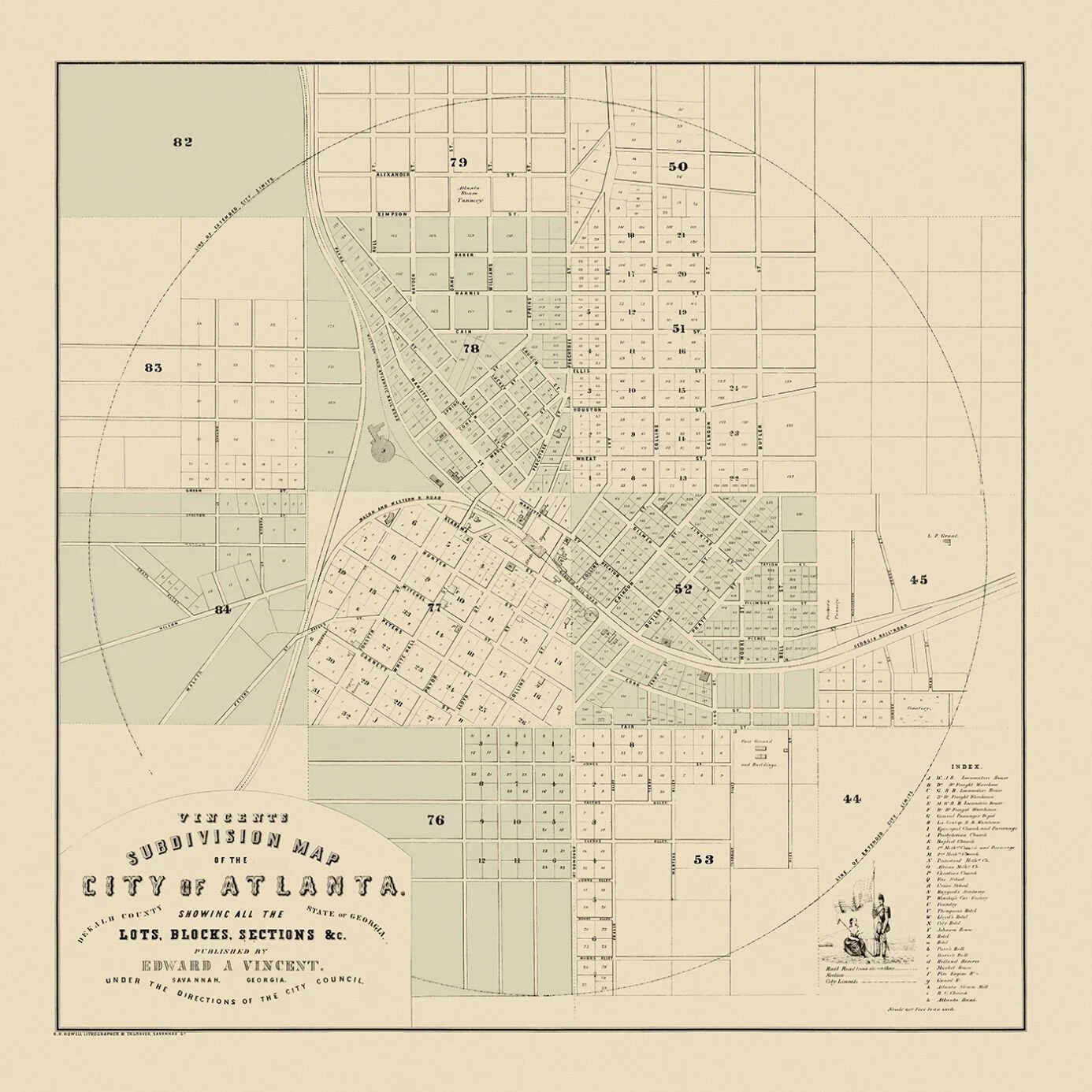
1877

1892 - bird’s eye view
Click here to view hi-res version of this map

1895 - southern railway

1902 - railway & electric map

1911

buy this map!
This 1911 map of Atlanta shows the city as it looked the year the Catlick story began. You can buy a print of this map inside the Catlick store. Just click the image above.

1919 - Bird’s eye view
Click here to view hi-res version of this map

1925
Click here to view hi-res version of this map
